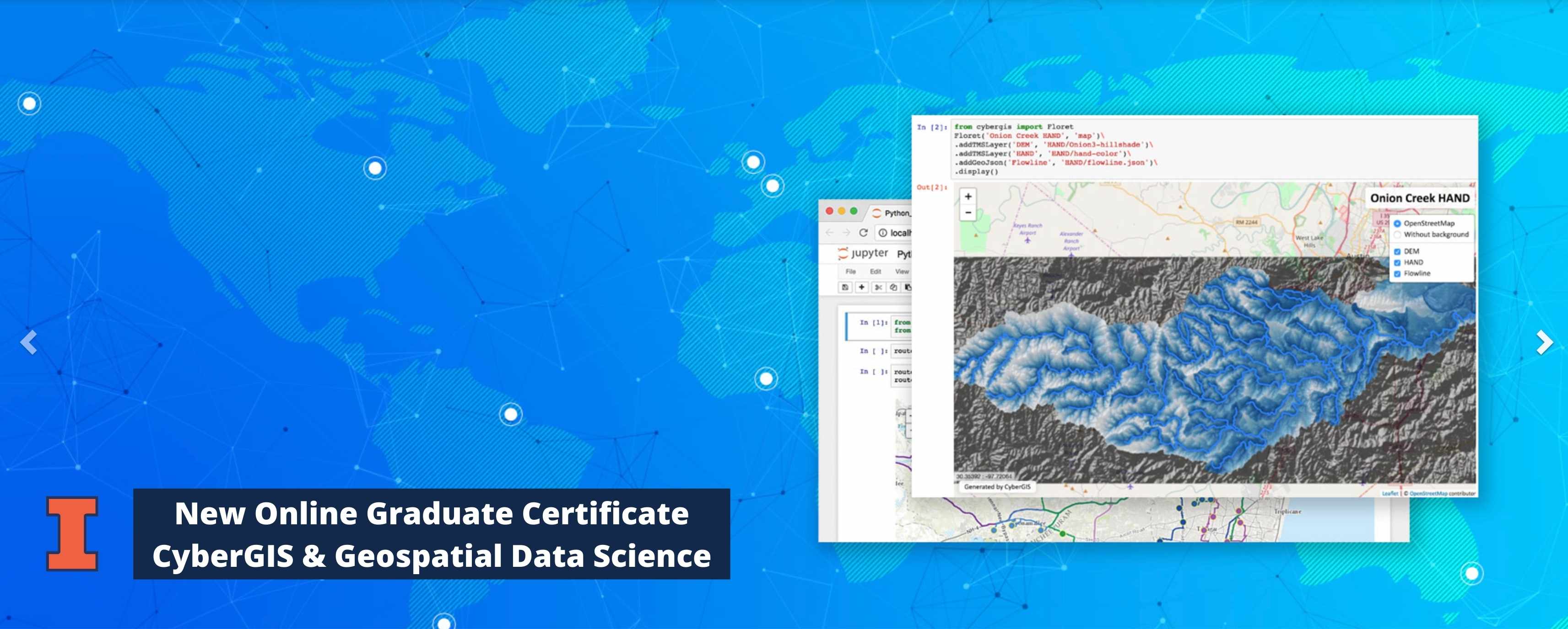
Illinois Online is excited to announce a new Graduate Certificate in CyberGIS and Geospatial Data Science, available through the Department of Geography and Geographic Information Science (GGIS) at the University
of Illinois at Urbana-Champaign (UIUC).
This online certificate program focuses on developing and utilizing geospatial data, methods, and technologies to solve a wide range of real-world problems ranging for example from agriculture and water resources to emergence management and public health.
Areas of emphasis include cyberGIS, spatio-temporal modeling and analytics, geospatial visualization, geospatial big-data analysis, geospatial artificial intelligence, and associated domain applications.
The first cohort starts on March 22, 2021. So register today or by the deadline on Wednesday, March 17, 2021. Complete this form to begin the registration process.
The online certificate program was designed to meet the high demand for advanced cyberGIS and geospatial data science skills needed in many industries. And, it will prepare students and working professionals to successfully advance their career and become
a leader in their field.
Students will earn their certificate by completing three (3) of the following four courses below for a total of 12 credit hours. The courses will also be offered during each of the upcoming terms.
- GEOG 403: Geographic Information Science and Systems
- GEOG 407: Foundations of CyberGIS and Geospatial Data Science
- GEOG 517: Geospatial Visualization and Visual Analytics
- GEOG 527: Geospatial Artificial Intelligence and Machine Learning
To learn more about this exciting opportunity, visit the Illinois Online CyberGIS and Geospatial Data Science Certificate page at https://online.illinois.edu/online-programs/graduate-certificates/cybergis